Potholes meet their algorithm
Waymo and Waze will alert cities about potholes. New Orleans could benefit early from the information.
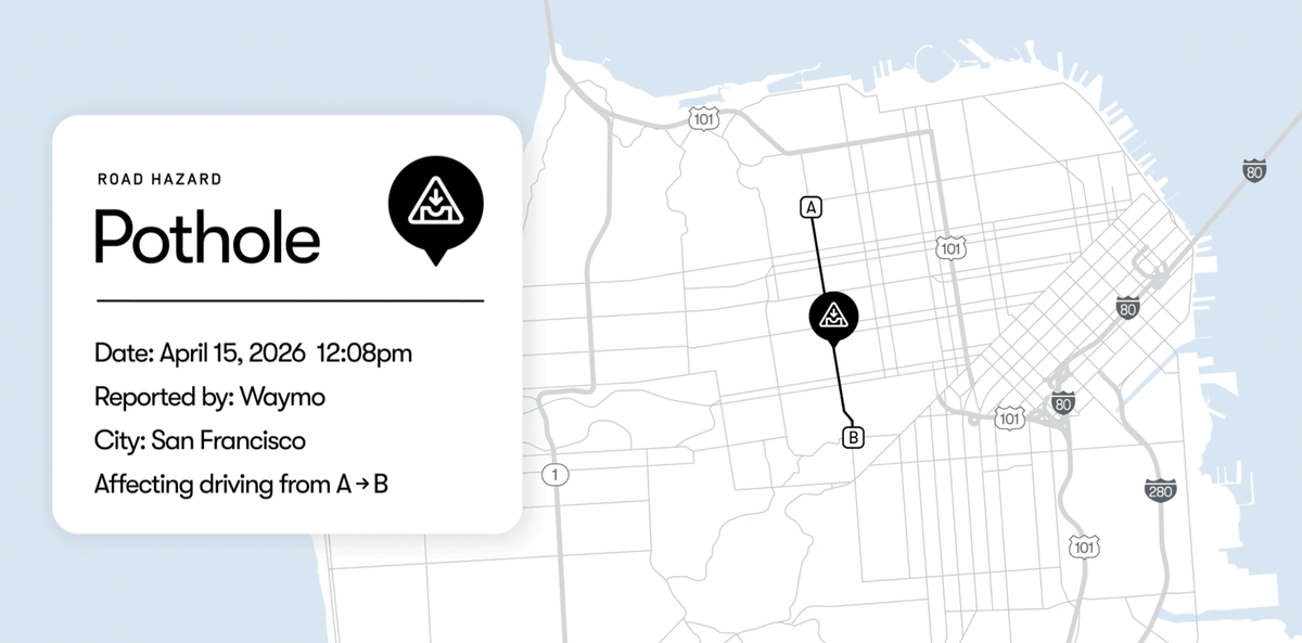
Waymo and Waze think they can help cities spot potholes before the rest of us hit them.
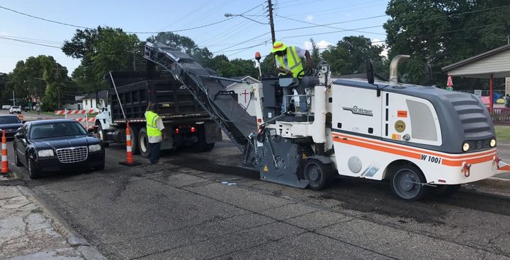
Why it matters: Potholes are a menace to everyone on the road — drivers, cyclists and pedestrians alike. Baton Rouge and other cities learn about potholes through 311 complaints and staff inspections, but Waze says that information is often incomplete and late.
What’s happening: Waymo and Waze have launched a pilot in some cities where Waymo operates robotaxis. Waymo’s roving taxis use cameras and lidar to spot potholes and send that information to Waze, which alerts city officials through its Waze for Cities program. Waze users also report potholes while using the real-time, GPS-based navigation system. Both firms are divisions of Alphabet, Google’s parent company.
What changes: Cities could respond more quickly to repairs, and Waze users will receive pothole alerts to help them avoid hazards. That could be particularly useful for Baton Rouge drivers who make their way through crater-filled New Orleans, an early Waymo city where robotaxis are expected later this year.
Bottom line: The pothole may finally have met its match: a robot car, a map app and a city government willing to pay attention.