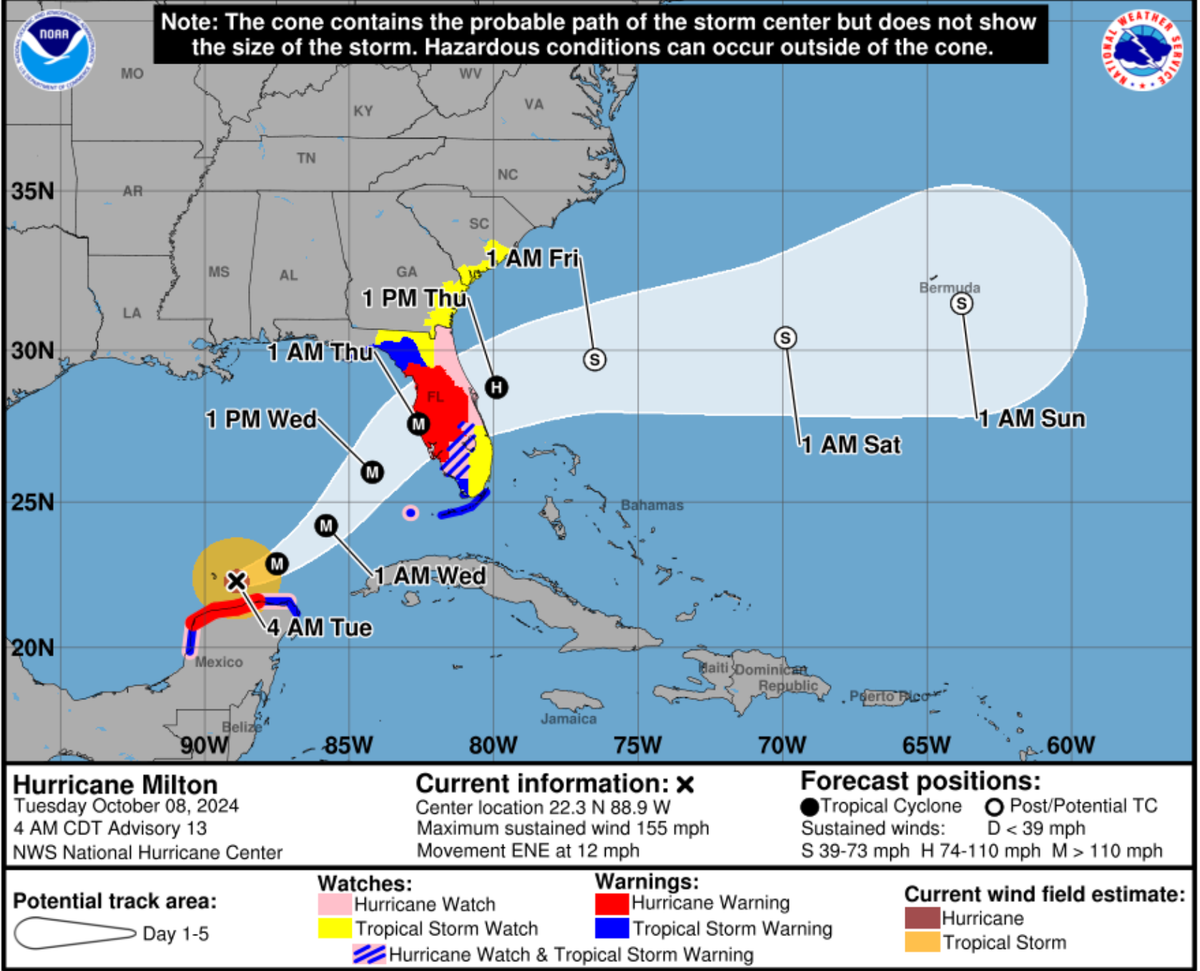
Hurricane cone is getting more useful
An update to storm information will mean much less guesswork for storm risk.
Louisiana's hurricane season is a few days old. So far, nothing. No spinning. No names. No panicked sprints to Costco for bottled water and 48-packs of paper towels.
That's the dream forecast. May it hold.
But if a storm points toward Baton Rouge, the National Hurricane Center has made a change this season that actually matters for people living an hour from the coast.
Why it matters: The old hurricane cone was built for the shoreline. It tracked where a storm's center might go, made coastal watches and warnings easy to read, and left inland parishes to do their own math — which is how you get people who don't know whether to leave or wait.
The change: This season, the cone will show inland tropical storm and hurricane watches and warnings directly on the main graphic.
- Before: "Are we in the cone?" was the question. The answer required interpretation. Interpretation invites mistakes.
- Now: "Are we under a watch or warning?" The answer is visible. No guessing.
What those words mean:
- A watch means bad weather is possible. Start getting ready.
- A warning means bad weather is expected. Stop watching the storm wobble and start moving.
The season outlook: Early forecasts are not alarming. NOAA expects a below-normal Atlantic season—8 to 14 named storms, 3 to 6 hurricanes, 1 to 3 majors. Colorado State's numbers are close: 13 named storms, 6 hurricanes, 2 majors.
The bottom line: The new cone will not keep the power on or stop an oak limb from finding your roof. But it will tell you clearly—no coastal decoder ring required—when the place where you actually live is in danger, and whether it's time to prepare or time to go.