
Drinks all around
Baton Rouge is not New Orleans, where drinking follows tourism. Alcohol sale locations here are oriented around LSU and neighborhoods.
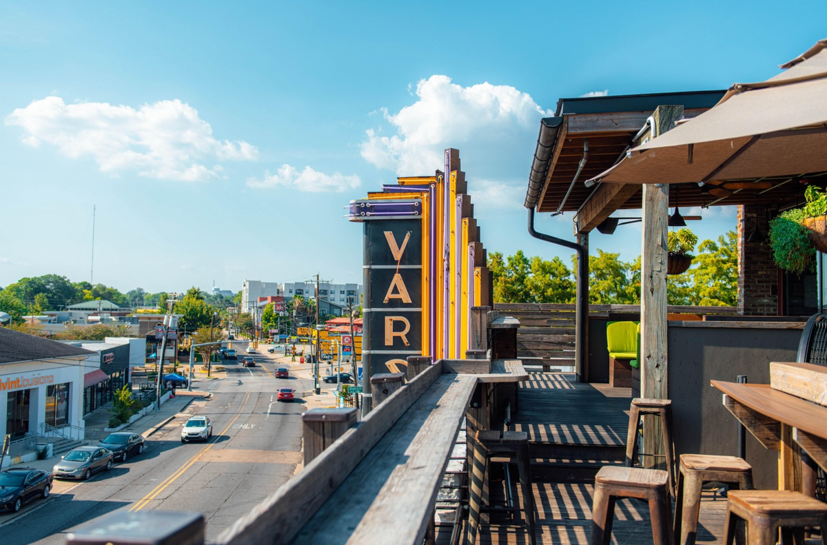
East Baton Rouge Parish has licensed 1,470 businesses to sell, serve or dispense alcohol, according to the parish government’s Open Data BR.
Why it matters: The parish alcohol map shows Baton Rouge as it actually works—not as a row of bar districts, but as a network of restaurants, grocery stores, gas stations, lounges and neighborhood corridors where people eat, shop and make beer runs.
By the numbers: The top ZIP code is 70808, with 165 licenses, covering LSU, Acadian, Southdowns and the Perkins Road corridor.
The area has students, bars, restaurants, convenience stores and higher-income neighborhoods where people have the habit and money to go out.
The runner-up: Downtown and the areas just south of it (70802) have 148 licenses.
That’s a reminder that downtown still has places to gather, and that the LSU North Gates are busy with students, game days and university events. The Chimes Highland, for instance, sits in 70802.
Then the map turns suburban fast: 70816, around O’Neal, Coursey and Sherwood Forest, has 145 licenses. After that come 70805 with 130, 70806 with 128, 70809 with 127 and 70810 with 126.
The big picture: Baton Rouge drinking is not confined to nightlife strips. It follows daily life—restaurants, grocery aisles, gas station coolers and the commercial roads that stitch the parish together.
Bottom line: The alcohol map is less Bourbon Street than everyday Baton Rouge: dinner, errands, a six-pack on the way home.